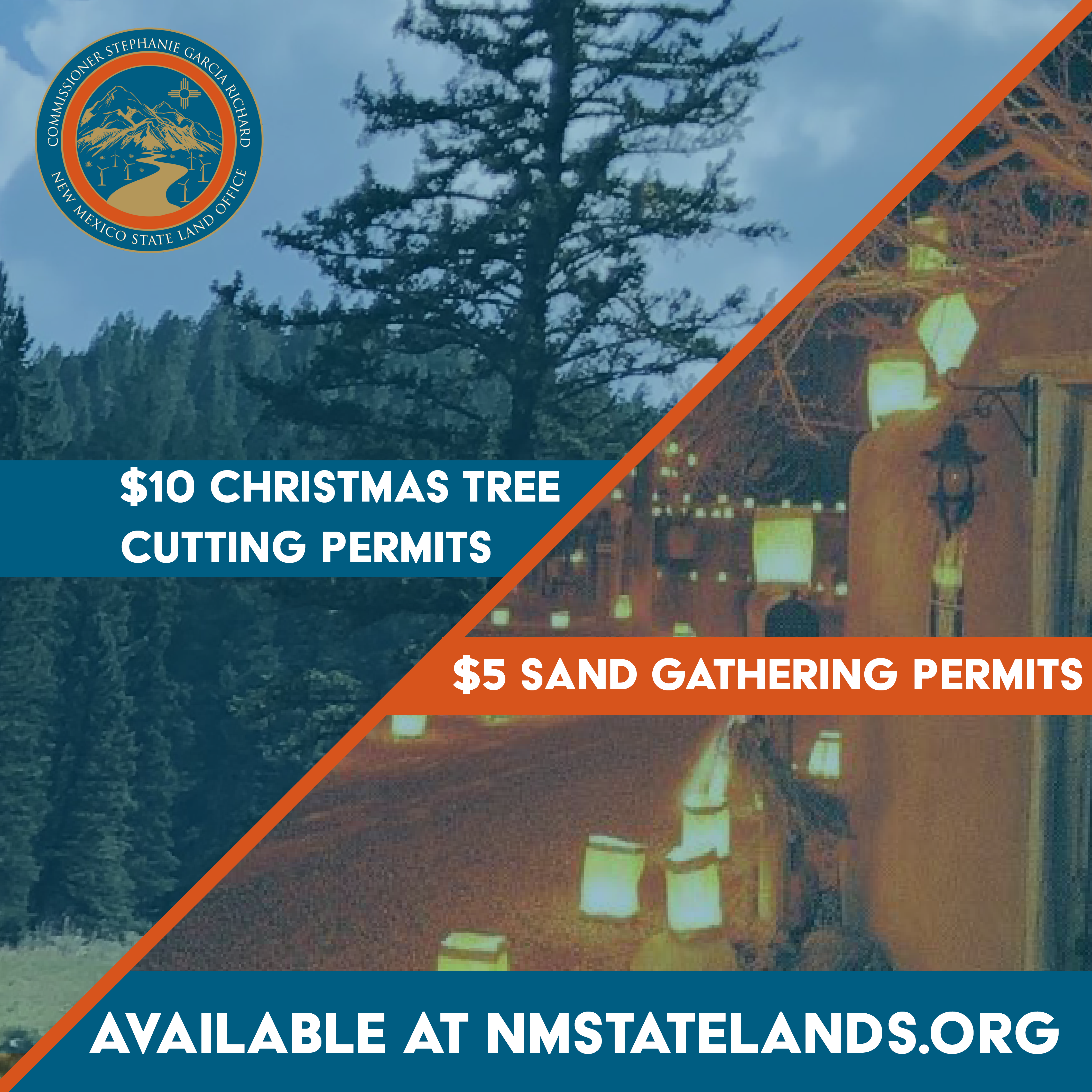
CHRISTMAS TREE CUTTING & SAND GATHERING PERMITS
Do you need some help?
The quickest way to reach us is to contact us through the contact form on the website.
Address:
310 Old Santa Fe Trail,
Santa Fe NM 87501
Phone:
505-827-5760
Christmas Tree Cutting Permits
The State Land Office is happy to offer permits for cutting a Christmas tree on state trust land east of Black Lake, south of Angel Fire (Colfax County). A permit application, directions, and a map are provided below. Please park at the area indicated on the map (latitude 36.28930833N, longitude 105.19166667W). Please adhere to the following conditions, which are listed on the permit.
- Permits cost $10.00 and allow for cutting and removal of 1 (one) tree for personal use only.
- Permit applications and payments must be received at the State Land Office in Santa Fe (via U.S. mail or using our Drop Box by the main the building entrance) by 5:00 pm on Tuesday, December 14, 2021. You can also email a completed application to Camilla Romero at cromero@slo.state.nm.us, but you will still need to get your payment to the State Land Office before your permit application can be processed.
- No tree may be cut after December 25, 2021.
- Do not cut trees taller than 15 feet in height. Take the whole tree. Do not remove only the top. Stump height should be a maximum of 6 inches.
- Ensure tree cutting occurs only on approved State Trust Land shown on accompanying map.
- Please read and follow other conditions laid out in the permit.
Directions
One area is available for Christmas tree cutting, and that area is located along State Road 120, with designated parking at latitude 36.28930833N, longitude 105.19166667W). From Black Lake, go 4.5 miles east from the intersection of State Roads 434 and State Road 120 and park at the signed area on the north side of 120. The cutting area, as shown on the map, is on the south side of 120.
Farolito Sand Gathering Permits
The State Land Office is pleased to offer permits for collection and removal of sand from state trust land for filling farolito (also known as luminaria) bags at one of seven locations offered around the state. Sites are offered near Albuquerque, Bloomfield, Carlsbad, Las Cruces, Santa Fe, Silver City, and Socorro. A permit application and directions and maps for each location are provided below. Please adhere to the following conditions, which are listed on the permit.
- Permits cost $5.00 and allow for collection and removal of up to 20 gallons (or 2.5 cu. ft.) of sand for personal use only. That is enough to fill approximately 100 farolito bags.
- Permit applications and payments must be received at the State Land Office in Santa Fe (via U.S. mail or using our Drop Box by the main the building entrance) by 5:00 pm on Tuesday, December 14, 2021. You can also email a completed application to Camilla Romero at cromero@slo.state.nm.us, but you will still need to get your payment to the State Land Office before your permit application can be processed.
- No sand may be collected and removed after December 25, 2021.
- Be aware of weather conditions and avoid arroyos when potential flooding conditions exist.
- Please read and follow other conditions laid out in the permit.
- Only collect sand from within the arroyo areas of state trust land listed below that are designated for this purpose and selected on your permit.
SANTA FE SAND GATHERING AREA (CLICK TO DOWNLOAD MAP)
County Rd. 62/NM 599 (Santa Fe) Sand Gathering Location:
From the intersection of the NM HWY 599 frontage road and Santa Fe County Rd 62, head northwest on CR62 for 0.6 miles to the site, where a large arroyos crosses the road. The sand collection area is only upstream (northwest) from CR62.
GPS location: Lat 35°39’56.02″N; Long 106° 2’37.74″W
ALBUQUERQUE SAND GATHERING AREA (CLICK TO DOWNLOAD MAP)
Ira Specter Rd. (ABQ) Sand Location:
From I-25 and Rio Bravo head west on Rio Bravo for approximately 0.5 miles to Broadway Blvd SE. Turn South on Broadway Blvd SE and travel approximately 1.8 miles to Bobby Foster Rd. Turn east on Bobby Foster Rd and travel approximately 0.5 miles to Los Picaros Rd SE. Turn north on Los Picaros Rd SE and travel approximately 2.3 miles to Ira Sprecker Rd SE. Turn north on Ira Sprecker RD SE and travel approximately 0.5 miles to Police Farm Rd SE. Turn east on Police Farm Rd SE and travel approximately 0.2 miles to subject property. Sand collection area is upstream (north) from suggested parking area on map.
GPS location: Lat 35° 1’17.88″N; Long 106°36’25.29″W
SILVER CITY SAND GATHERING AREA (CLICK TO DOWNLOAD MAP)
Hwy 180-Maudes Canyon (Silver City) Sand Location:
From the intersection of HWY 90 (N. Hudson) and HWY 180 in Silver City, travel east on HWY 180 for 2.4 miles. You will have to perform a safe turnaround to access the parking area off the north side of HWY 180. Walk into arroyo/stream bottom from Parking area. Sand collection area is upstream (north) of the suggested parking area.
GPS Location: Lat 32°47’11.06″N, Long 108°14’8.83″W
LAS CRUCES SAND GATHERING AREA (CLICK TO DOWNLOAD MAP)
Sonoma Ranch Road (Las Cruces) Sand Location:
From the interchange of University Ave & I-25 in Las Cruces: Head east on University Ave for 0.2 miles to Las Alturas Dr. Turn south (right) on Las Alturas Dr. and continue traveling south for 1.9 miles to Tellbrook Rd. Turn east (left) on Tellbrook Rd. and travel for 1.9 miles to Sonoma Ranch Road. Turn south (right) onto Sonoma Ranch Road and travel south for 0.7 miles to the site. There are 2 sand collection areas here. Both upstream (west/northwest) of where Sonoma Ranch Rd. crosses two large arroyos/washes.
GPS Location: Lat 32°15’43.82″N, Long 106°41’50.88″W
CARLSBAD (NEARBY) SAND GATHERING AREA (CLICK TO DOWNLOAD MAP)
Dark Canyon Rd (Carlsbad) Sand Location:
From Wal-Mart in Carlsbad, head south on Canal Street/US-180/Us-62 for 0.3 miles to the Y intersection. Continue southwest on US-62/180 for 8.1 miles to Dark Canyon Road. Turn west (right) onto Dark Canyon Rd and travel for 3.4 miles to the location on State Trust Land. The extraction location, a dry river bed, is located 60 yards north of the road. Sand collection area is only between the posted signs in the arroyo/streambed.
GPS Location: Lat: 32°17’38.56″, Long: -104°20’15.78″
BLOOMFIELD (NEARBY) SAND GATHERING AREA (CLICK TO DOWNLOAD MAP)
County Rd. 5500 (Bloomfield) Sand Location:
From Bloomfield, take Hwy 550 south 3.0 miles to San Juan County Rd 5500 and turn right (west). Travel west on CR 5500 for 1.6 miles where a sandy arroyo crosses under the road. A dirt road on the south east side of the CR 5500 arroyo crossing has trails lead down a gentle embankment into the arroyo. Sand collection area is only upstream (south) of CR-5500 and west of the suggested parking area on the map.
GPS location: Lat 36o 40’ 41.9”N; Long 108o, 01’ 01” W
SOCORRO (NEARBY) SAND GATHERING AREA (CLICK TO DOWNLOAD MAP)
Socorro District Sand Location:
Travel west on U.S. Highway 60 from Socorro approximately 6 miles. Turn south off U. S Highway 60 west of mile marker 133 and travel approximately 1.75 miles south to the sand collection location. Parking area is on the east side of the road. Sand collection area is upstream (south-southwest) of the road and suggested parking area.
GPS Location: Lat 33°58’58.99″N; Long 106°57’58.09″W

